
Fișier:Surface Map of Pluto.jpg

Mărește rezoluția imaginii (2.813 × 1.737 pixeli, mărime fișier: 226 KB, tip MIME: image/jpeg)
| Acest fișier se află la Wikimedia Commons. Consultați pagina sa descriptivă acolo. |
| Descriere |
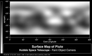
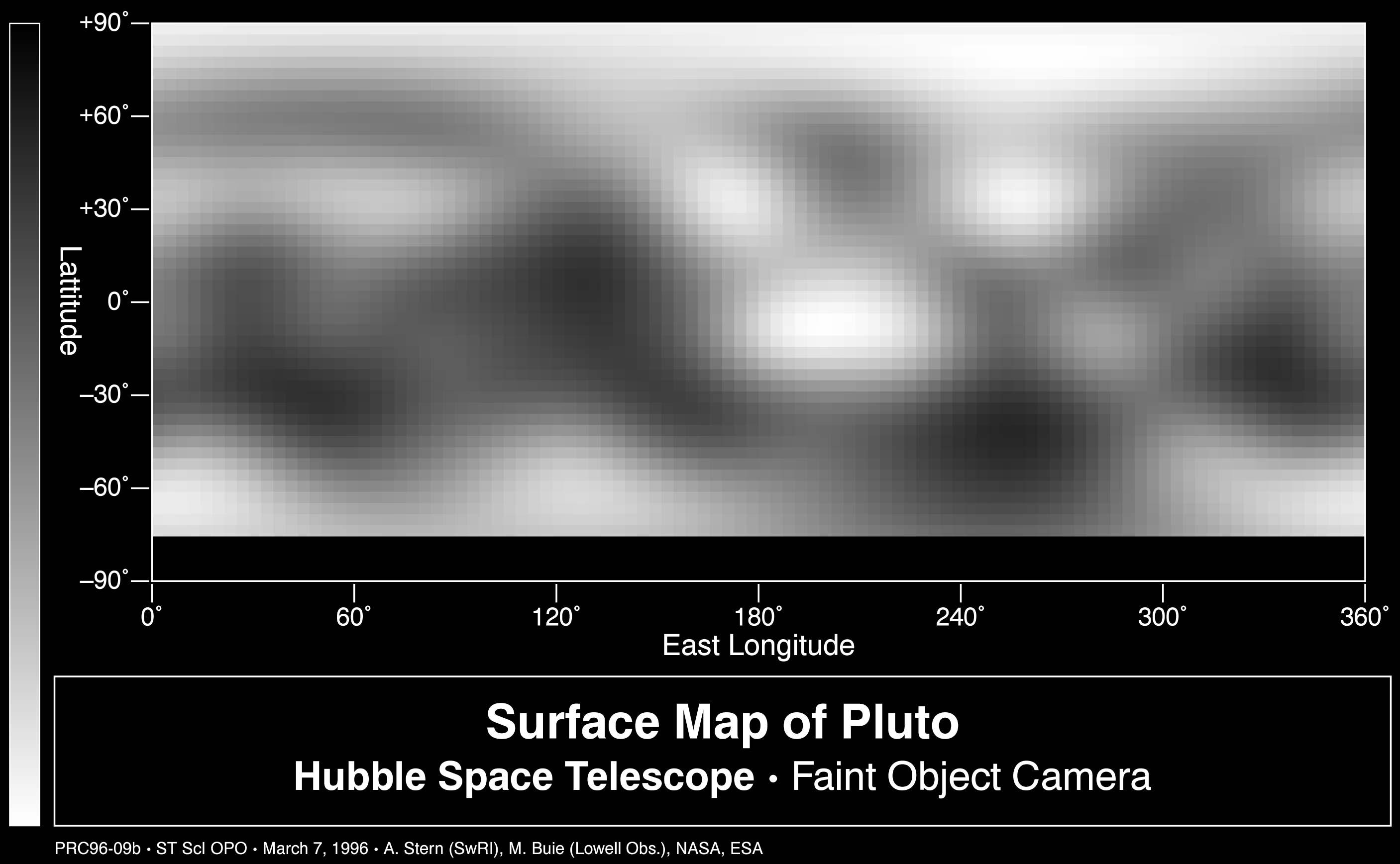
This is the first image-based surface map of Pluto. This map was assembled by computer image processing software from four separate images of Pluto's disk taken with the European Space Agency's (ESA) Faint Object Camera (FOC) aboard NASA's Hubble Space Telescope. Hubble imaged nearly the entire surface, as Pluto rotated on its axis in late June and early July 1994. The map, which covers 85% of the planet's surface, confirms that Pluto has a dark equatorial belt and bright polar caps, as inferred from ground-based light curves obtained during the mutual eclipses that occurred between Pluto and its satellite Charon in the late 1980s. The brightness variations in this map may be due to topographic features such as basins and fresh impact craters. However, most of the surface features unveiled by Hubble are likely produced by the complex distribution of frosts that migrate across Pluto's surface with its orbital and seasonal cycles. Names may later be proposed for some of the larger regions. Image reconstruction techniques smooth out the coarse pixels in the four raw images to reveal major regions where the surface is either bright or dark. The black strip across the bottom corresponds to the region surrounding Pluto's south pole, which was pointed away from Earth when the observations were made, and could not be imaged. Pluto itself probably shows even more contrast and perhaps sharper boundaries between light and dark areas than is shown here, but Hubble's resolution (just like early telescopic views of Mars) tends to blur edges and blend together small features sitting inside larger ones. Italiano: Mappa di Plutone basata su osservazioni del telescopio Hubble. |
| Dată | image taken in Jun. - Jul. 1994 |
| Sursă |
NASA planetary photojournal |
| Autor | Alan Stern (Southwest Research Institute)/Marc Buie (Lowell Observatory)/NASA/ESA |
| Permisiune (Reutilizarea acestui fișier) |
Copyright information from http://www.jpl.nasa.gov/images/policy/index.cfm - Unless otherwise noted, images and video on JPL public web sites (public sites ending with a jpl.nasa.gov address) may be used for any purpose without prior permission [...] |
This image or video was catalogued by Jet Propulsion Laboratory of the United States National Aeronautics and Space Administration (NASA) under Photo ID: PIA00826. This tag does not indicate the copyright status of the attached work. A normal copyright tag is still required. See Commons:Licensing. Other languages:
|
| Acest fişier este în domeniul public fiindcă a fost creat de NASA. Politica drepturilor de autor a NASA spune că „Materialul NASA nu este protejat de dreptul de autor atâta timp cât nu se precizează altfel”. (NASA copyright policy page sau JPL Image Use Policy). | ||
 |
Atenţie:
|
Istoricul fișierului
Apăsați pe Data și ora pentru a vedea versiunea trimisă atunci.
| Data și ora | Miniatură | Dimensiuni | Utilizator | Comentariu | |
|---|---|---|---|---|---|
| actuală | 31 ianuarie 2006 13:56 | | 2.813x1.737 (226 KB) | Arnomane | higher resolution |
| 1 septembrie 2005 23:47 |  | 1.272x786 (78 KB) | Lotse | *'''Original Caption Released with Image:''' This is the first image-based surface map of the solar system's most remote planet, Pluto. This map was assembled by computer image processing software from four separate images of Pluto's disk taken with the |
Utilizarea fișierului
Următoarele pagini conțin această imagine:
Utilizarea globală a fișierului
Următoarele alte proiecte wiki folosesc acest fișier:
- Utilizare la de.wikipedia.org
- Utilizare la en.wikipedia.org
- Utilizare la fr.wikiversity.org
- Utilizare la ja.wikipedia.org
- Utilizare la lb.wikipedia.org
- Utilizare la mr.wikipedia.org
- Utilizare la nds.wikipedia.org