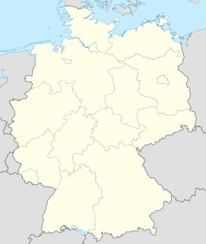
Mühlenberge
| Mühlenberge | |||
| — comună din Germania[*] — | |||
 | |||
| |||
| Poziția geografică | |||
| Coordonate: 52°41′N 12°36′E / 52.683°N 12.600°E | |||
|---|---|---|---|
| Țară | |||
| Land | Brandenburg | ||
| District | Havelland | ||
| Asociație municipală | Friesack | ||
| Subdiviziuni locale | 3 Ortsteile | ||
| Guvernare | |||
| - Primar | Hendrick Frost | ||
| Suprafață[2][3] | |||
| - Total | 39,48 km² | ||
| Altitudine | 36 m.d.m. | ||
| Populație (2006-12-31) | |||
| - Total | 790 locuitori | ||
| - Densitate | 20,01 loc./km² | ||
| Fus orar | CET (+1) | ||
| - Ora de vară (DST) | CEST (+2) | ||
| Cod poștal | 14662 | ||
| Prefix telefonic | 033237, 033238 | ||
| Număr de înmatriculare auto | HVL | ||
| Prezență online | |||
| site web oficial OpenStreetMap relation | |||
 | |||
| Modifică date / text | |||
Mühlenberge este o comună din landul Brandenburg, Germania.
| |||||||
- ^ GeoNames
- ^ Bevölkerungsentwicklung und Flächen der kreisfreien Städte Landkreise und Gemeinden im Land Brandenburg - 2017 (în germană), Amt für Statistik Berlin-Brandenburg[*], accesat în
- ^ Alle politisch selbständigen Gemeinden mit ausgewählten Merkmalen am 31.12.2018 (4. Quartal) (în germană), Statistisches Bundesamt[*], accesat în


