
Fișier:India Uttaranchal locator map.svg

Mărește rezoluția imaginii (Fișier SVG, cu dimensiunea nominală de 1.639 × 1.852 pixeli, mărime fișier: 751 KB)
| Acest fișier se află la Wikimedia Commons. Consultați pagina sa descriptivă acolo. |

|
Acest fișier a fost înlocuit cu File:India Uttarakhand locator map.svg. Se recomandă folosirea celuilalt fișier. Notă: Acest fișier nu va fi șters decât prin cererea explicită în cadrul nominalizărilor pentru ștergere.
|

|
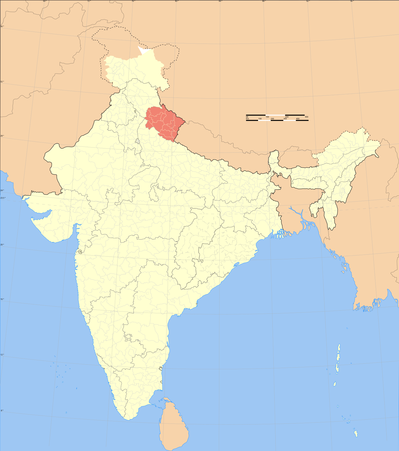
| Titlu |
Uttaranchal locator map |
|||||||||
| Descriere |
Locator map of the state of Uttaranchal, India with district boundaries. |
|||||||||
| Map legend |
 |
|||||||||
| Dată | ||||||||||
| Sursă |
Operă proprie |
|||||||||
| Creator |
|
|||||||||
| Permisiune (Reutilizarea acestui fișier) |
Eu, deținătorul drepturilor de autor ale acestei opere, prin prezenta îmi public lucrarea sub următoarea licență: Acest fișier a fost eliberat sub licența Creative Commons Atribuire și distribuire în condiții identice 3.0 Neadaptată.
|
|||||||||
| Geotemporal data | ||||||||||
| Momentul de timp reprezentat | a doua jumătate a lui secolul al 20-lea și secolul al 21-lea | |||||||||
| Spatial reference system | conic | |||||||||
| Bounding box |
|
|||||||||
| Georeferencing | If inappropriate please set warp_status = skip to hide. | |||||||||
| Archival data | ||||||||||
| Note | Part of WikiProject India Maps | |||||||||
| SVG dezvoltare | Această imagine vectorială a fost creată cu Adobe Illustrator |
|||||||||

Notes
Depiction of India's borders
- The territorial boundaries of India are shown as per the actual ground situation in accordance with international practices followed by the United Nations ([1], [2]) and the National Geographic Society ([3], [4])
- This map is meant to be for illustrative purpose only and is not authenticated by official government sources. Please check the list of sources and references used to create the map for a measure of accuracy and verifiability.
- The usage of these maps in India, Pakistan and China are governed by different laws that restrict depictions of boundaries other than what is officially recognized by the state. Please check local laws and modify the map accordingly before use.
Explanation of disputed boundaries


- Boundary of Indian claim : The territory India claims is legally theirs, but the claim is disputed by China and Pakistan.
- Line of Control/Line of Conflict : The de facto administrative boundary recognised by the international community. This UN ceasefire line is considered as a temporary solution to an ongoing conflict since the departure of the British Raj.
Borders of disputed regions
The depicted extent of the former territory of the British Indian Empire, succeeded by Republic of India, may not be accepted by few countries as legal due to ongoing border disputes:
- The northern Himalayan region of the disputed territory Indian-administered Kashmir is claimed by India including (Pakistan-administered Kashmir) and the Chinese-occupied territory of (Ladakh plateau). Since 1972, it is divided between all three countries. See also Line of Control and Line of Actual Control.
- Siachen glacier (shown white) is an actively contested region between India and Pakistan. Since 1984, the region is under Indian control.
- The northeastern territory of Arunachal Pradesh is almost entirely claimed by China as part of its Tibetan territory.
- Minor areas of eastern Kashmir's Ladakh division, Himachal Pradesh and Uttarakhand on the Chinese frontier are claimed by China. These areas are under Indian control.
- A small area of Uttarakhand adjoining the Nepal border along the Sarda river is disputed between the two countries.
For a detailed map of all disputed regions in South Asia, see Image:India disputed areas map.svg
Internal borders
The borders of the state of Meghalaya, Assam and Arunachal Pradesh are shown as interpreted from the North-Eastern Areas (Reorganisation) Act, 1971, but has yet to be verified.
Territorial waters
The limit of the territorial waters of India extends to twelve nautical miles measured from the appropriate baseline. See this for more information.
Istoricul fișierului
Apăsați pe Data și ora pentru a vedea versiunea trimisă atunci.
| Data și ora | Miniatură | Dimensiuni | Utilizator | Comentariu | |
|---|---|---|---|---|---|
| actuală | 6 august 2006 20:49 | | 1.639x1.852 (751 KB) | Planemad | {{WikiProject_India_Maps |Title=Uttaranchal locator map |Description=Locator map of the state of Uttaranchal, India with district boundaries. |Source=. |Date=August 6 2006 |Author=w:user:Nichalpw:user:Planemad |Thumbdir=CHANGE }} |
Utilizarea fișierului
Nicio pagină nu se leagă la această imagine.
Utilizarea globală a fișierului
Următoarele alte proiecte wiki folosesc acest fișier:
- Utilizare la ba.wikipedia.org
- Utilizare la be.wikipedia.org
- Utilizare la bh.wikipedia.org
- Utilizare la da.wikipedia.org
- Utilizare la en.wikipedia.org
- Bhumiya
- Pindari Glacier
- Milam Glacier
- Ralam Glacier
- Tirsuli
- Chhiplakot
- Namik Glacier
- Hardeol
- Kalabaland Glacier
- Sin La
- Darma Valley
- Nama Pass
- Chopta Valley
- Nagalaphu
- Meola Glacier
- Sona Glacier
- Gaula River (India)
- Rishi Pahar
- Bamba Dhura
- Panchchuli Glacier
- Suj Tilla East
- Gora Padao
- Bandia
- Barkot, Uttarakhand
- Dhandera
- Dharchula Dehat
- Dineshpur
- Dugadda
- Dwarahat
- FRI and College Area
Vizualizați utilizările globale ale acestui fișier.